The annual “boys” February week away with the “navigator” and my brother-in-law Andy was here again. This year was to be spent in the hills north and south of Machynlleth and our base was some 10 miles east of Machynlleth.


Prior to the above conversion is was an old barn which was used for a past Eisteddfod and was the base for the Pabell Len, a venue for the literary side of things. it is now known as “Beudy Clygo”.
The “Navigator” and I drove up from the Carmarthen area on Saturday and we were due to meet Andy on the outskirts of Machynlleth for a short half day walk but he had car problems and missed the walk.
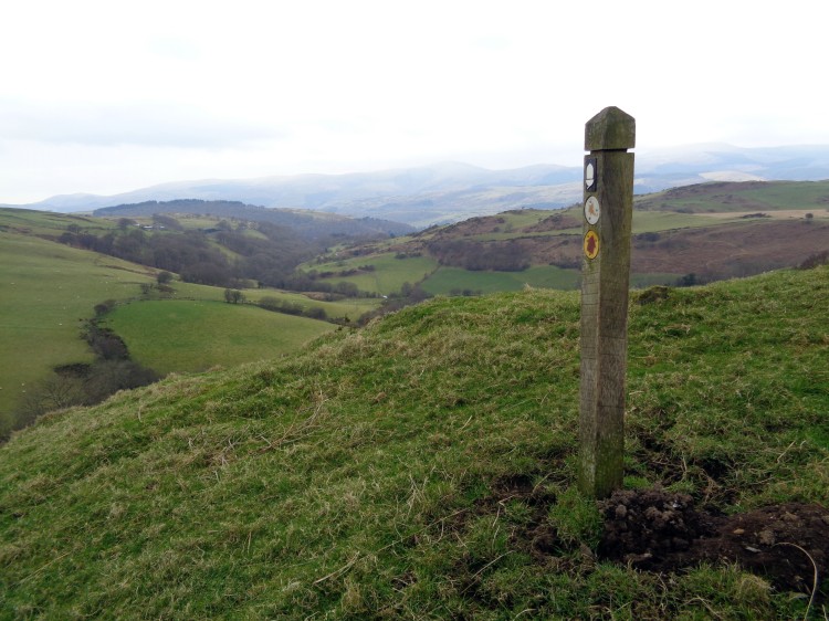
In this area you will never be far from walking on sections of Glyndwr’s Way and we frequently came across the way marked route throughout the week. Although we are used to seeing way marks for the Wales Coast Path in odd places here was another on a hillside miles from the coast!

Look out for golf balls.


Coast Path?
This was a good introduction to the area and by luck we met Andy as we both turned into the lane leading to our cottage and in time to see Wales lose to the English.
Sunday
We parked in Dinas Mawddwy and walked into the valley of the Nant Maesglase.


Ye olde milepost

is that snow?

The wind is blowing the waterfall uphill!
About halfway along we came a sheep who was clearly in distress and on closer examination it had caught itself up in the netting which holds bales of sileage together. We managed to turn the sheep on its side and cut through the nylon mesh and free her. We also ensured the netting was cut in numerous places to avoid a similar accidennt. From experience its not difficult to release the bale and collect the netting.

Morning coffee break

The Navigator is happy, honest.

Snow on Maesglase
When we reached Bwlch Siglen we saw a group of walkers who turned out to be, apart from 2 others, the only walkers we saw all week. As we climbed out of the bwlch another good deed was carried out when Andy recovered a large ripped party balloon which was caught up in the gorse. Do purchasers of these items give any thought to what happens to these balloons when released?

We left the good paths and bush whacked across to Llyn Foeldinas in misty conditions and then back to the car via the disused quarries following a tea break in a welcome bus shelter.


Sleeting.
Monday
Today’s route would take us to Glaslyn south east of Machynlleth. The lanes in this are are narrow and parking is not easy to find but we found a suitable spot south of Aberhosan near Nantyfyda farm.
We followed Glyndwr’s Way on a good path gently rising to take us to Glaslyn where we had lunch on the beach. The lake and surrounding area is now a nature reserve run by Montgomeryshre Wildlife Trust.


Lunch on the beach.
After lunch we retraced our steps to join a minor road to the viewpoint dedicated to Wynford Vaughan Thomas. The views were not extensive because of the misty conditions but the panorama plate indicated the views are there to be seen on a clear day.

Sustrans mile post route NCN 8


The byway also shown as a cycle route albeit not one for a road bike, was followed to the village of Aberhosan and then south back to the car.

Tuesday
Cwm Cywarch was to be our destination today and then up onto Craig Cywarch.
We drove to Dinas Mwyddwy and then up to the end of the road of the Cywarch valley where the National Trust have made a small car park with an honesty box. There is even a porto loo nicely contained behind a dry stone wall.


We came down this path
The path up is a good quarry road and then a reasonable track up onto the ridge of Craig Cywarch where the temperature had fallen with ice forming on the grass and rime ice on the fences.


Brrrr

No this is not sheep wool.
As we climbed higher snow was underfoot and here we enjoyed lunch. The cloud was now down and we followed a fence line before taking a bearing to Llyn y Fign.

Ice with that sir?
As we started to descend steeply to the path which would take us back to the car I lost my footing and crashed head first on to a very hard rock. Thankfully as it was cold I had some thick covering on my head and was able to carry on without a problem. The fall did leave a large grazed area which my dear brother-in-law said put him in mind of the ex Russian president, Gorbachov! We took the rest of the descent very slowly and there were no further incidents.

Wednesday
The forecast was poor and it seemmed sensible to stay off the hills and we headed for the coast at Aberdovy and the low hills behind the seaside town.
It was a little wet to start but overall it was a fine day and the forecast was not that accurate.
We parked just outside Aberdovey adjacent to a cemetery, not the best choice for us aged walkers!
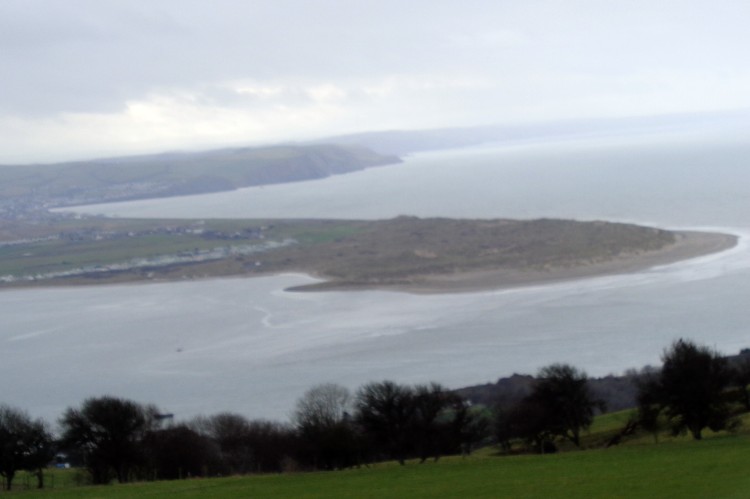
The route took us east on a gentle rising path where we joined a minor road near Erw Gwenllian. Part way along we stopped for morning coffee with views over the Dyfi estuary and on to Borth.

Leading up from the coast

Dyfi estuary
We carried on the road to its end and then turned on to a path for about half a mile before striking north to have lunch looking down on Llyn Barfog (the Bearded Lake).


Lunch over looking Llyn Barfog

Our return was now west along a path, muddy in places thanks to the sheep feeding area and down to the road along Happy Valley.

The road along Happy Valley
At spot height 53 we joined the by way which led us down to the main road which we crossed and on to the golf club and back to the car.
Thursday
Waun Oer
This was to our “wet day” although I don’t recollect the forecast saying that.
This walk was again in the Maesglase area with the high point being Waun Oer.
We parked in the marked car park near spot height 363. It’s always good to let the car gain some height!

Looking back to the car

Looking north
You will notice lots of tightly packed contour lines with some steep ups and downs. Andy of course treated it as a flat walk whilst the “Navigator” and I felt the burn. The weather was closing in but we had some good views of the steep cwms to the east.

Steep cwms
Some way from Waun Oer it was time for the full waterproofs and when we reached the cairn there were no views where we had hoped to glance Cadair Idris. We didn’t hang about and retraced our steps to have lunch in the woodland.

Waun Oer
A joint decision was to extend the walk and we followed the fence line south east to Craig Portas for more views of the cwms following the edge back to our outward walk.

Looking down from Cribin Fawr

Cribin Fawr
At the disused quarry we stopped for afternoon tea and it was here the “Navigator” realised he had left his over trousers back at the lunch stop! They are still there if anyone passes by , finds them and wishes to notify me.

Bereft of over trousers!Afon
Cursing his forgetfulness we walked on and down hill along the diagonal track in an easterly and then westerly back to the car.

Afon Cerist cwm?
We passed a group of three men on the path who were dismantling a small tent and a camp chair. Curiosity got the better of me and they told me they were plane spotters and were hoping to see an American Osprey plane but the weather had meant a cancellation. I assume this is it.
Friday
Our last day and still standing and we were off south of Machynlleth to see waterfalls and wildness.
We drove to the end of lane and walked through the farm,Cwmyrhaiadr (755964). The waterfalls are signposted and its about a mile and quarter along first a good track and then deteriorating to a wet muddy one before a stiff climb to the top of the fall.


Towards the waterfall

Closer now. Our path can be seen in top left

Mine machinery?
The climb starts at Llechwedd Melyn and then diagonally south west. The week’s walking was now taking its toll and the first climb I found tough but then recovered as the climb eased.

Looking back from the top of the climb
Once at the top we headed for Llyn Penrhaeadr where lunch was eaten.

Five locks!

It would have been easy to have a doze here but it was not to be.We retraced our steps and walked through the woods to Hafodwnog and along the path towards Pen y Darren and then along and down through Bwlch y Groesen to the car.


The end of a good week of walking with reasonable weather and when the Viewranger stats were added up we had walked about 50 miles and climbed 12700 feet.